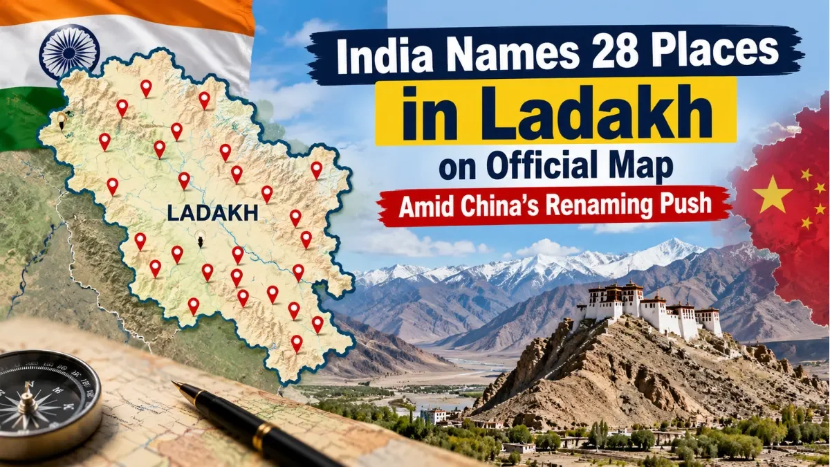
In a major cartographic assertion along the Line of Actual Control (LAC), India has formally standardized and published the names of 28 strategic geographical places and features in the Union Territory of Ladakh on the official Survey of India (SoI) map. Executed by the Ministry of Home Affairs in consultation with the local Ladakh administration, the move serves as a direct legal and territorial counterweight to Beijing’s ongoing attempts to unilaterally rename features across the India-China border.
Strengthening Territorial Identity in High-Altitude Terrain
The standardized features span a vast range of high-altitude geography across eastern Ladakh, encompassing mountains, peaks, passes, glaciers, valleys, rivers, lakes, and key border points. Published on the official Survey of India portal for public access and government records, the update transitions local and military geography into the permanent, formal cartographic record of the nation.
The Ministry of Home Affairs noted that the formal identification aims to ensure standardized usage across administrative, civil, and defense agencies, while fostering greater public awareness regarding the region's geographical identity.
Key strategic locations included in the official map update encompass:
Historical Friction Points: Sites such as Gogra and Hot Spring—which witnessed major standoffs and military disengagements following the June 2020 Galwan Valley clash—have been given precise standardized designations.
High-Mountain Passes and Glaciers: Key operational passes including Chapchingal Pass and Shachmirk Pass, along with the Parpik and Skamri glaciers.
Valleys and Water Bodies: Geographical features such as the Shkorga Valley, the Yangpa River, and Guru Rinpoche Lake.
Honorifics and Deep Cultural Roots
Beyond strategic military considerations, several of the newly standardized names reflect Ladakh’s rich historical heritage, spiritual traditions, and military legacy. The naming convention pays homage to legendary figures, Buddhist masters, and regional heroes who shaped the history of the Himalayan frontier.
Prominent peaks and mountain features named under the initiative include:
Zorawar Peak: Named in honor of General Zorawar Singh, the legendary 19th-century Dogra military commander who led historic campaigns across Ladakh and Tibet.
Spiritual Landmarks: Peaks such as Atisha Giri, Kanishka Peak, Martand Giri, Drak Karpo, Rinchen Zangpo, Marpa Lotsava Ri, Milarepa Kangri, Shiva Ri, and Maheshvara Ri.
Sacred Water Bodies: Guru Rinpoche Lake, named after Padmasambhava, the revered 8th-century Buddhist master instrumental in spreading Vajrayana Buddhism throughout the Himalayan belt.
A Firm Response to Beijing’s Cartographic Push
The cartographic update comes against the backdrop of repeated attempts by the Chinese Ministry of Civil Affairs to "standardize" geographical names in Chinese, Tibetan, and Pinyin scripts for places in Arunachal Pradesh and other regions along the disputed border. India has consistently dismissed Beijing’s gazetteer releases, maintaining that assigning invented names to geographical locations does not alter the underlying sovereignty of Indian territory.
However, the decision to formally publish standard Indian designations on Survey of India maps marks a proactive shift. Rather than merely reacting to foreign claims with diplomatic rejections, India is actively codifying its own native place names in sovereign cartographic registers. Indian strategic experts have noted that establishing clear cartographic consistency strengthens New Delhi's legal and administrative posture in international forums and bilateral border deliberations.
Sustained Focus on Border Infrastructure and Normalization
The mapping initiative coincides with India's broader efforts to reinforce administrative, civil, and military infrastructure across the Union Territory of Ladakh. Over recent years, the government has accelerated border road construction, tunnel development, and mobile connectivity projects to ensure seamless logistics and economic integration for remote high-altitude communities.
By formalizing the geographical nomenclature of 28 key landmarks, India delivers a clear signal: the territorial identity of Ladakh remains firm, legally codified, and rooted in the country's sovereign record.