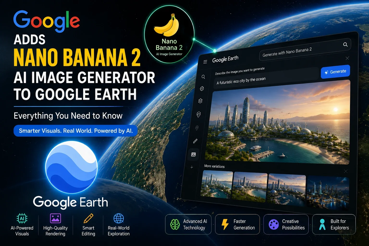
Google's push to weave generative AI into nearly every product it owns has reached one of its oldest, most trusted tools: Google Earth. The company recently confirmed the arrival of its Nano Banana 2 AI image generator inside Google Earth on the web, letting users turn real-world locations into AI-generated visual concepts. For creators, educators, researchers, travelers, and mapping enthusiasts, this update points toward how Google intends to blend geospatial data with generative AI — even as the rollout has already run into real-world complications.
What Is Nano Banana 2 AI Image Generator?
Nano Banana 2 is Google's next-generation AI image model, officially known under the hood as Gemini 3.1 Flash Image. Built on the Gemini 3 architecture, it generates and edits images from natural language prompts, with improvements in resolution, text rendering, and contextual accuracy over earlier versions.
Google says Nano Banana 2 sits in the middle of its image-generation lineup — above the lightweight, low-cost Nano Banana 2 Lite, and below Nano Banana Pro, aimed at higher-fidelity professional rendering. Since its debut earlier this year, Nano Banana 2 has already been integrated into the Gemini app, AI Mode in Search, Google Ads, and NotebookLM, making its arrival in Google Earth part of a broader expansion pattern.
Google Earth Gets an AI Upgrade
Google confirmed that Nano Banana 2 now powers a new "Create Image" tool inside Google Earth on the web. Rather than starting from a blank prompt box, users zoom into an actual location and describe what they want to visualize — a historical scene, a redesigned vacant lot, or a concept building that hasn't been constructed yet.
What sets this apart from a typical AI image tool, per Google's announcement, is that generated visuals are anchored to real satellite, aerial, and 3D terrain data rather than produced from a text prompt alone.
It's worth noting that shortly after the web-wide rollout, Google paused the feature after users showed it could be used to superimpose fabricated imagery onto real map locations — a concern given that Google Earth is widely relied on by journalists and researchers for geolocation and verification work. As of this writing, availability is limited while Google reviews the tool, so check official Google channels for the latest status.
Key Features of Nano Banana 2
Based on Google's announcement and early hands-on reports, core capabilities include:
- AI-generated visuals rooted in real location data rather than blank-prompt generation.
- Improved image quality, including sharper detail and up to 2K native resolution with 4K upscaling support in the broader Nano Banana 2 model.
- Faster rendering, with conversational edits reportedly generated in under 15 seconds.
- Enhanced scene generation, allowing users to visualize historical eras or hypothetical redevelopment concepts.
- Better editing and customization through a "Refine Image" option to adjust results before saving.
- Smart prompts and contextual understanding, including the ability to generate infographics with accurate, well-placed text alongside imagery.
Who Can Benefit?
The integration of Nano Banana 2 into Google Earth has clear appeal across several groups:
- Content creators can quickly visualize location-based concepts for videos or articles.
- Students and educators can generate historical or explanatory visuals tied to real geography.
- Urban planners can sketch redevelopment ideas for vacant or underused spaces.
- Architects can explore early-stage concept renderings anchored to real terrain.
- Researchers can use AI-generated infographics to communicate geographic data.
- Travel enthusiasts can imagine how landmarks may have looked in different eras.
- Businesses using mapping tools can prototype location-based concepts without specialized design software.
How It Compares With Other AI Image Generators
Compared with general-purpose AI image tools like OpenAI's image generation, Adobe Firefly, and Midjourney, the key differentiator of Nano Banana 2 inside Google Earth is its grounding in real satellite and terrain data, rather than generating scenes purely from text. This makes it potentially more useful for location-specific visualization, though it isn't designed to compete directly with these tools for general creative or artistic image generation.
Adobe Firefly remains strong for commercial design workflows with built-in licensing safeguards, while Midjourney is often favored for stylized, artistic output. OpenAI's tools are known for versatility across prompts. Compared to Google's earlier Nano Banana model, Nano Banana 2 offers improvements in resolution and text rendering per Google's product materials, though independent, standardized benchmarks comparing these tools directly remain limited.
Availability and Supported Platforms
According to Google and multiple media reports, Nano Banana 2 launched globally inside Google Earth for the web version only, at no additional charge. It is not currently available on the Google Earth mobile apps for iOS or Android.
Generation quotas reportedly operate under Google Earth's own separate limits, independent of standard Google AI or Google One subscription plans. As mentioned, the rollout has already been affected by a temporary pause following misuse concerns, so availability may vary by account and region until Google finalizes its response. For the most accurate status, check Google's official Earth blog or support channels.
Potential Impact on AI Mapping and Visualization
If fully restored and refined, this integration could meaningfully shape how people interact with geographic data. AI-assisted exploration could make it easier to visualize historical change, environmental shifts, or development scenarios directly on real maps. In education, it could turn static geography lessons into interactive visual storytelling. For tourism, it could help travelers picture landmarks across different time periods, while environmental researchers could use similar tools to communicate change over time.
That said, the recent pause highlights a real tension: blending generative AI with a platform built on trusted, verifiable imagery raises legitimate questions about authenticity that Google will need to address going forward.
Also Read: Google Introduces Gemini Spark: Meet Your 24/7 AI Agent in India
Final Thoughts
The arrival of the Nano Banana 2 AI image generator in Google Earth reflects Google's broader strategy of embedding generative AI across its product ecosystem, extending creative tools into spaces once reserved for factual, satellite-based imagery. While the early rollout showed genuine promise for creators, educators, and researchers, its temporary pause is a reminder that these integrations are still evolving. Readers interested in trying this feature should follow Google's official announcements for updates on availability, feature changes, and broader platform support.
FAQs
1. What is Nano Banana 2 AI image generator?
Google's next-generation AI image model, technically Gemini 3.1 Flash Image, built for high-quality image generation and editing from text prompts.
2. How does Nano Banana 2 work in Google Earth?
Users zoom into a real location on Google Earth's web version, select "Create Image," and enter a prompt; Nano Banana 2 generates a visual anchored to satellite, aerial, and 3D terrain data for that spot.
3. Is Nano Banana 2 available to everyone?
It launched globally on Google Earth's web version at no extra cost, but was temporarily paused shortly after launch due to misuse concerns, so current availability may be limited.
4. Which devices support the feature?
As of the latest reports, only Google Earth for the web — not the iOS or Android apps.
5. Is Nano Banana 2 free to use in Google Earth? Yes, it launched at no additional charge, under its own separate usage limits rather than standard Google AI subscription quotas.
6. How is it different from other AI image generators?
Unlike general-purpose tools like Midjourney or Adobe Firefly, it anchors output to real satellite and terrain data tied to a specific location.
7. Why was the Google Earth feature paused?
Reports say Google paused it after users showed it could superimpose fabricated imagery onto real locations, raising concerns given Google Earth's role as a trusted mapping reference.